1
/
of
7
San Juan Islands Topographic Map
San Juan Islands Topographic Map
Regular price
$125.00 USD
Regular price
Sale price
$125.00 USD
Unit price
/
per
Couldn't load pickup availability
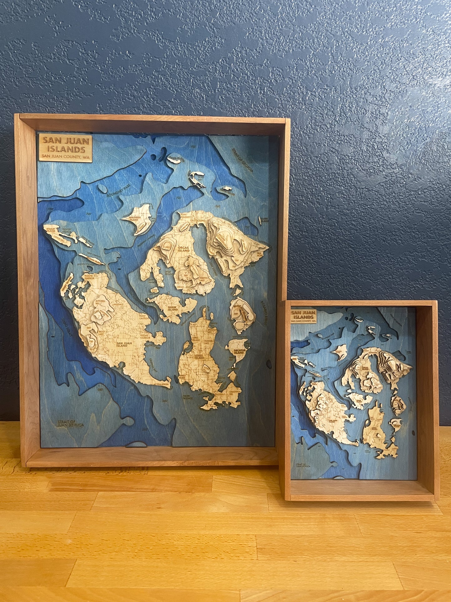
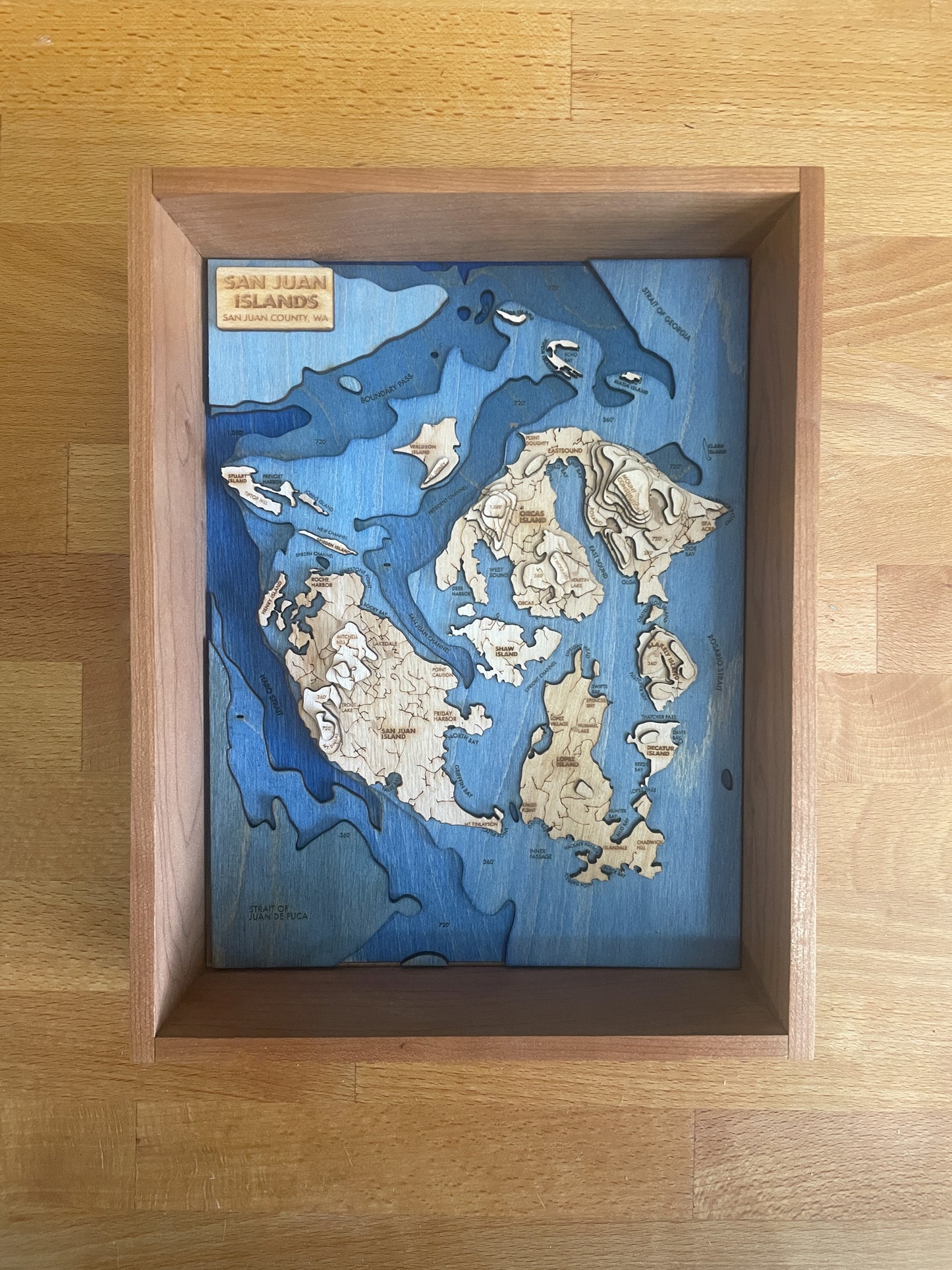
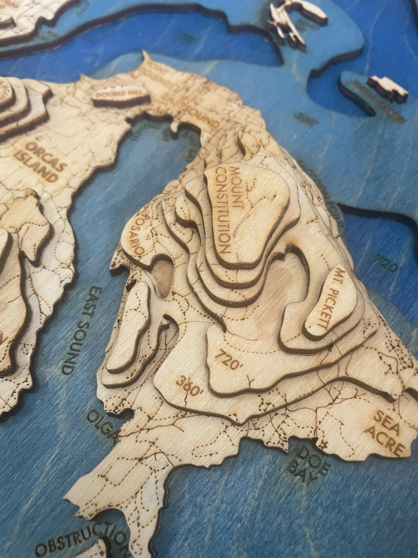
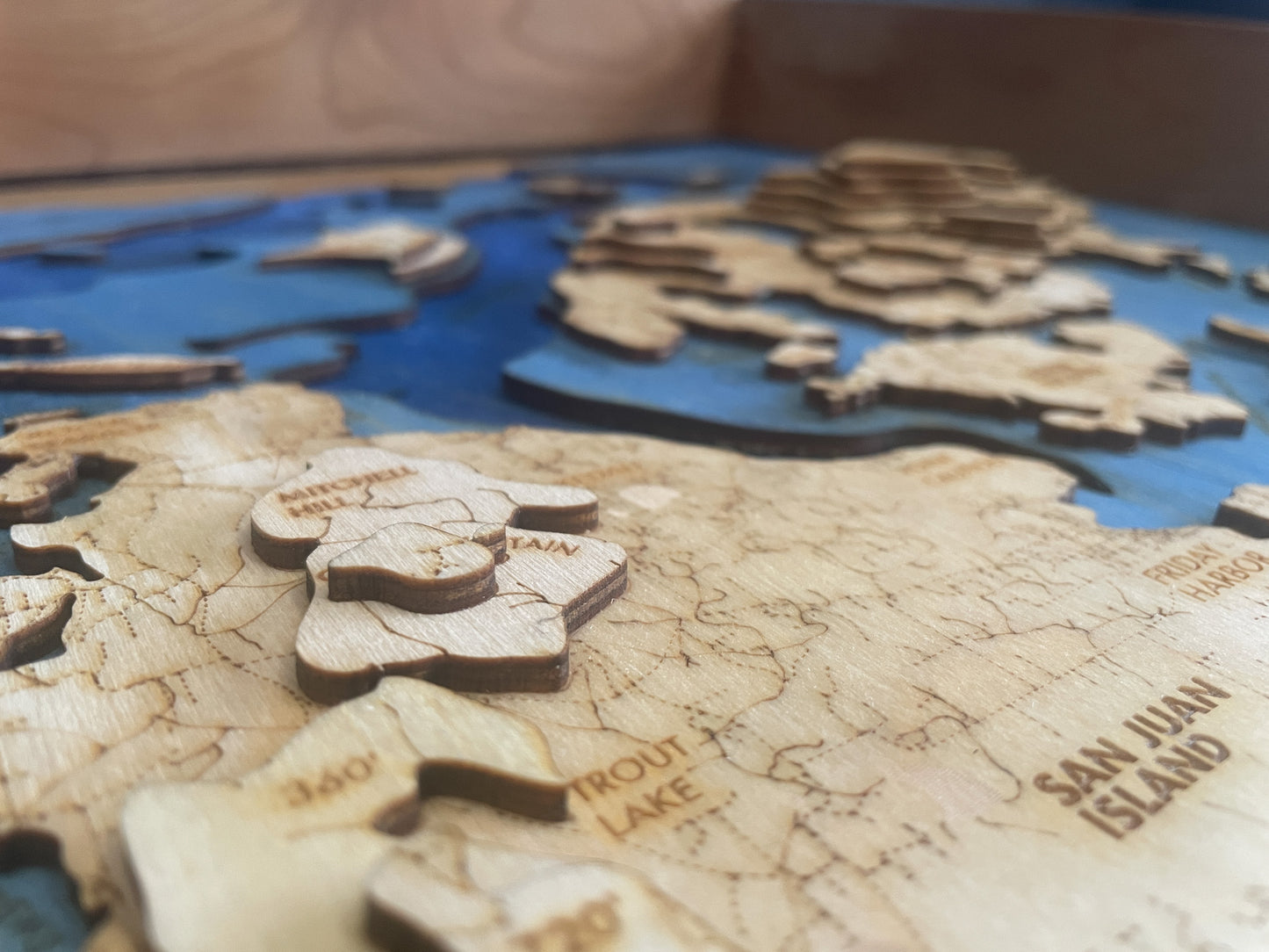
This handmade map of the San Juan Islands features all major and minor islands in the archipelago.
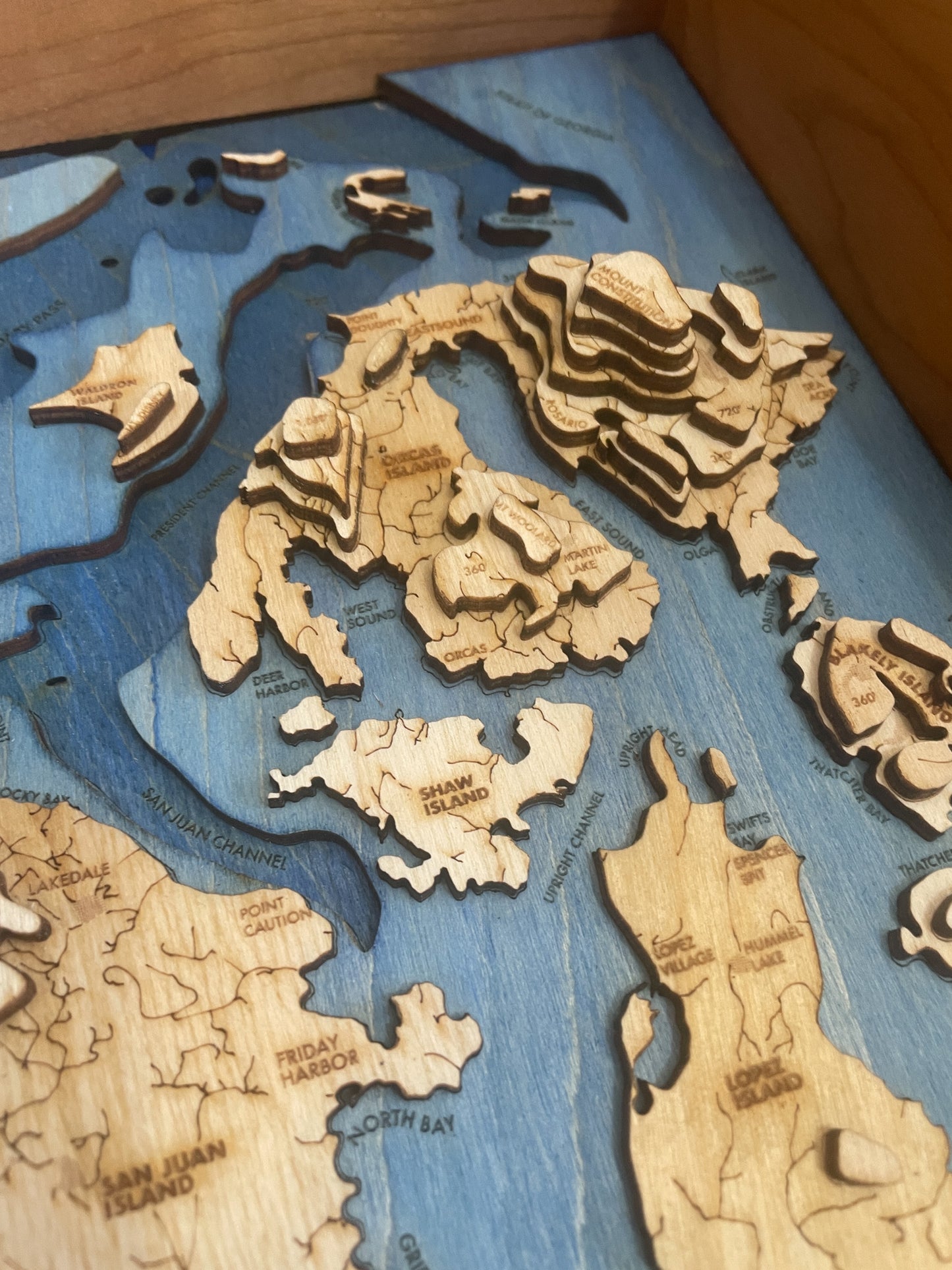
It uniquely blends both elevation and bathymetric layers of the islands, from the top of Mt. Constitution on Orcas Island to the depths of Haro Strait and the waters around the Strait of Juan De Fuca and the Strait of Georgia.
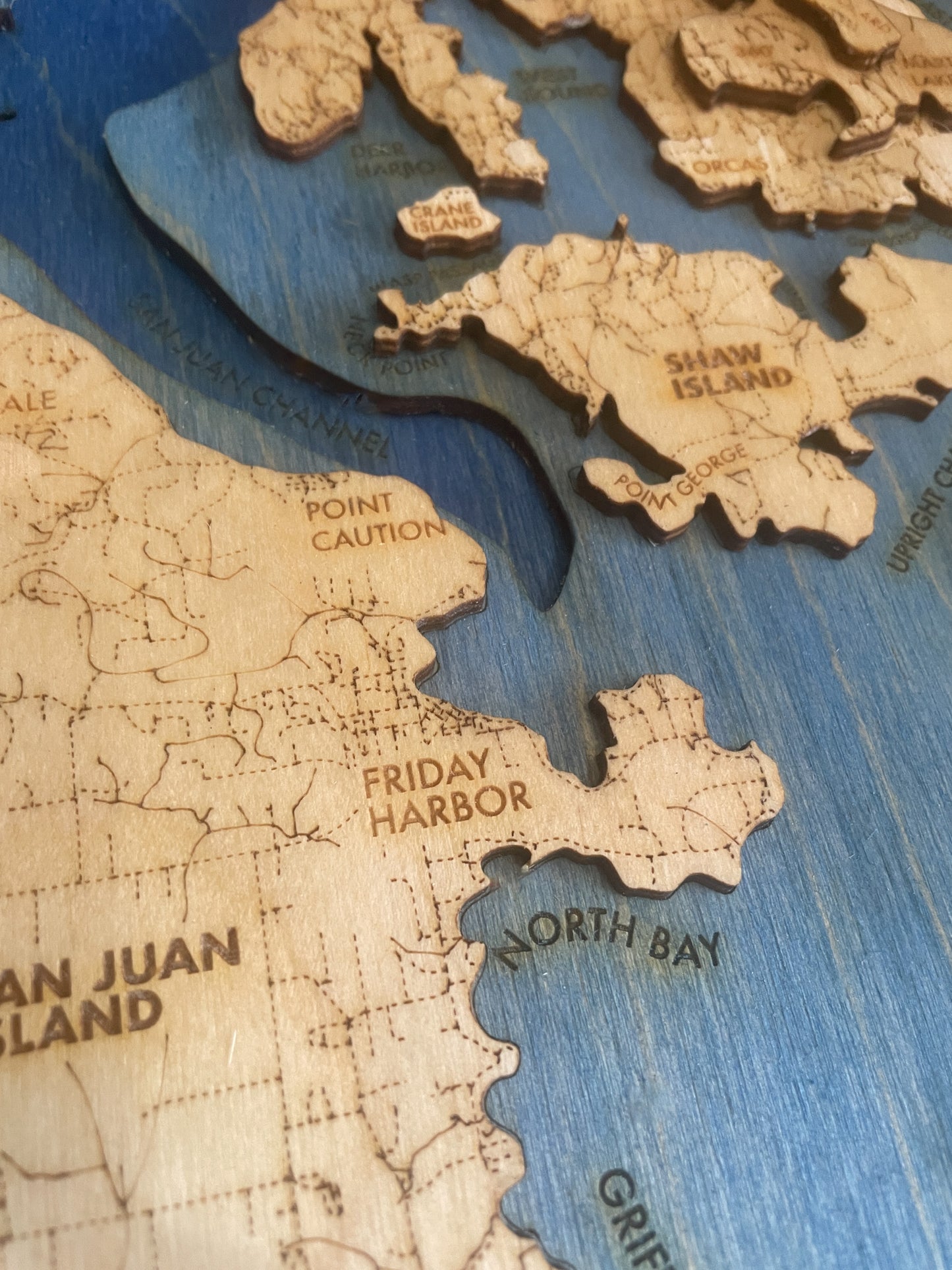
Ocean depth layers are dyed in a gradient to indicate increasing depth, and major geographic features & towns are labeled wherever possible. Each layer of the map represents 360’ of vertical elevation/depth, with 1,800 feet of elevation and 1,080 feet of depth represented.
Share
Details
- Maps are laser cut from 1/8" (3MM) baltic birch plywood.
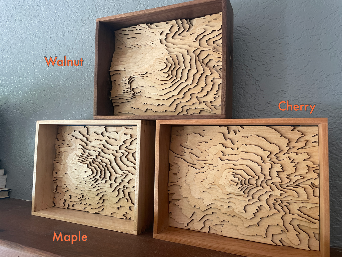
- Frames are handmade with solid hardwood, and include a clear acrylic cover.
- Everything is protected with a non-toxic & natural oil finish, and mounted with frame wire. All you need is a nail in the wall to hang them.
- Designed, built and shipped from my home workshop in Bellingham, WA
- Local pickup in Bellingham is available - Once your order is ready, we'll email you to coordinate a time and place to meet.
Note - this item is made to order, and typically ships within 5-7 days of order date.


