About
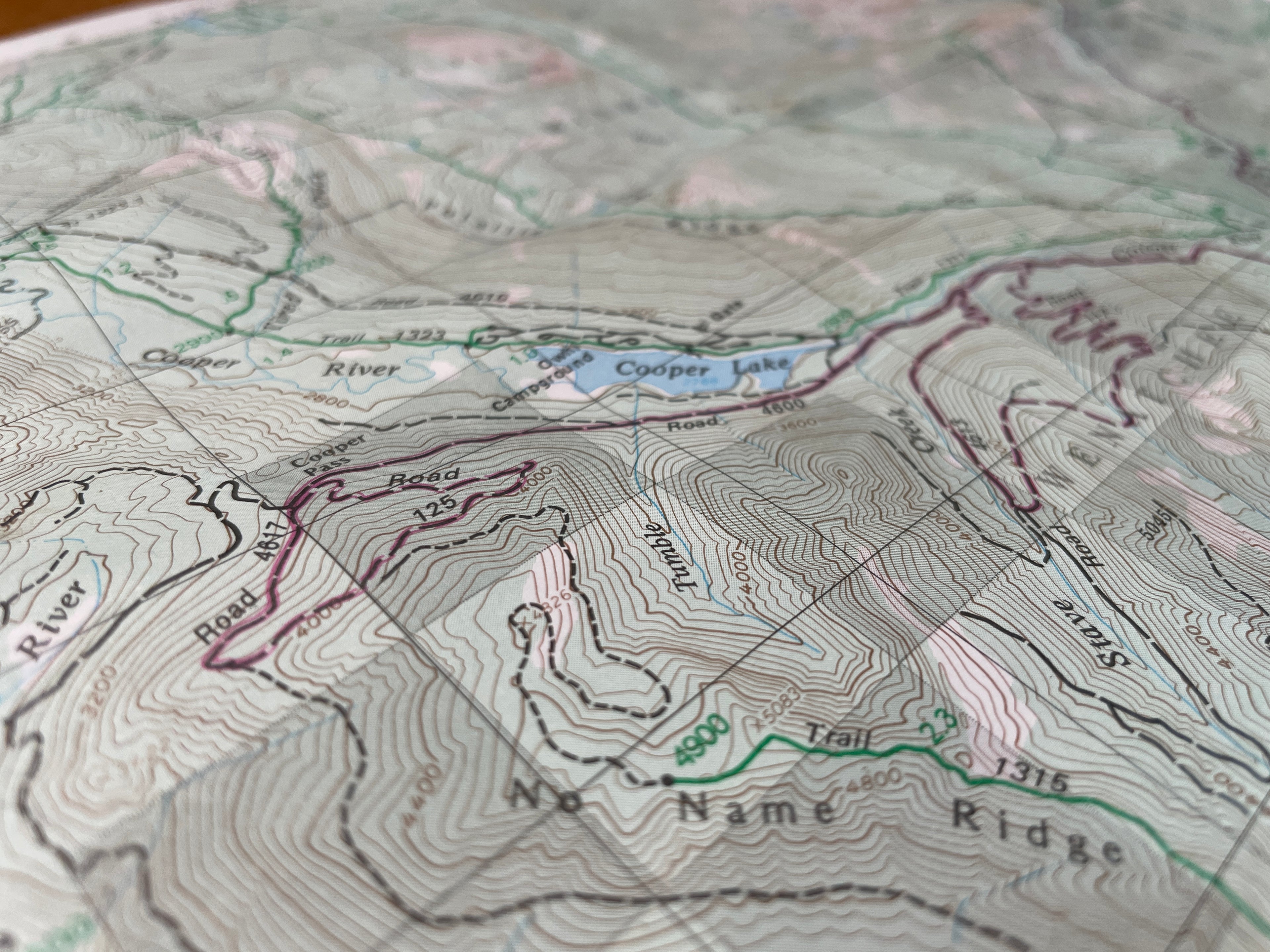
The defining feature of a topographic map are its contour lines, where steepness is represented by closely spaced lines of chaotic, organic shapes. It turns out, if you bring those contour lines into three dimensions, they becomes something beautiful.
 My name is Jeff and I'm a one-person operation based in Bellingham, Washington (48° 46' 11.1648'' N 122° 29' 9.1896'' W), between the the boundless Pacific Ocean and the (often) clouded peaks of the Cascade mountain range. It's hard not to get inspired by the natural beauty right on my doorstep.
That's what 48 Contours is all about. I turn map data into scale wooden models of iconic mountains and geographic features around the world. Each map I create is an elegant and unique piece that complement any space and inspires, just like the real peak it represents.
 My name is Jeff and I'm a one-person operation based in Bellingham, Washington (48° 46' 11.1648'' N 122° 29' 9.1896'' W), between the the boundless Pacific Ocean and the (often) clouded peaks of the Cascade mountain range. It's hard not to get inspired by the natural beauty right on my doorstep.
 I design, build and ship everything from my home workshop, and I'm always adding new peaks and locations. You can see more about my process on Instagram, or sign up for my occasional email dispatches, where I share what I'm working on next, and maybe a special offer from time time.
Otherwise, get in touch if you have a specific question or request!
