1
/
of
8
Mt. Rainier Topographic Map
Mt. Rainier Topographic Map
Regular price
$125.00 USD
Regular price
Sale price
$125.00 USD
Unit price
/
per
Couldn't load pickup availability
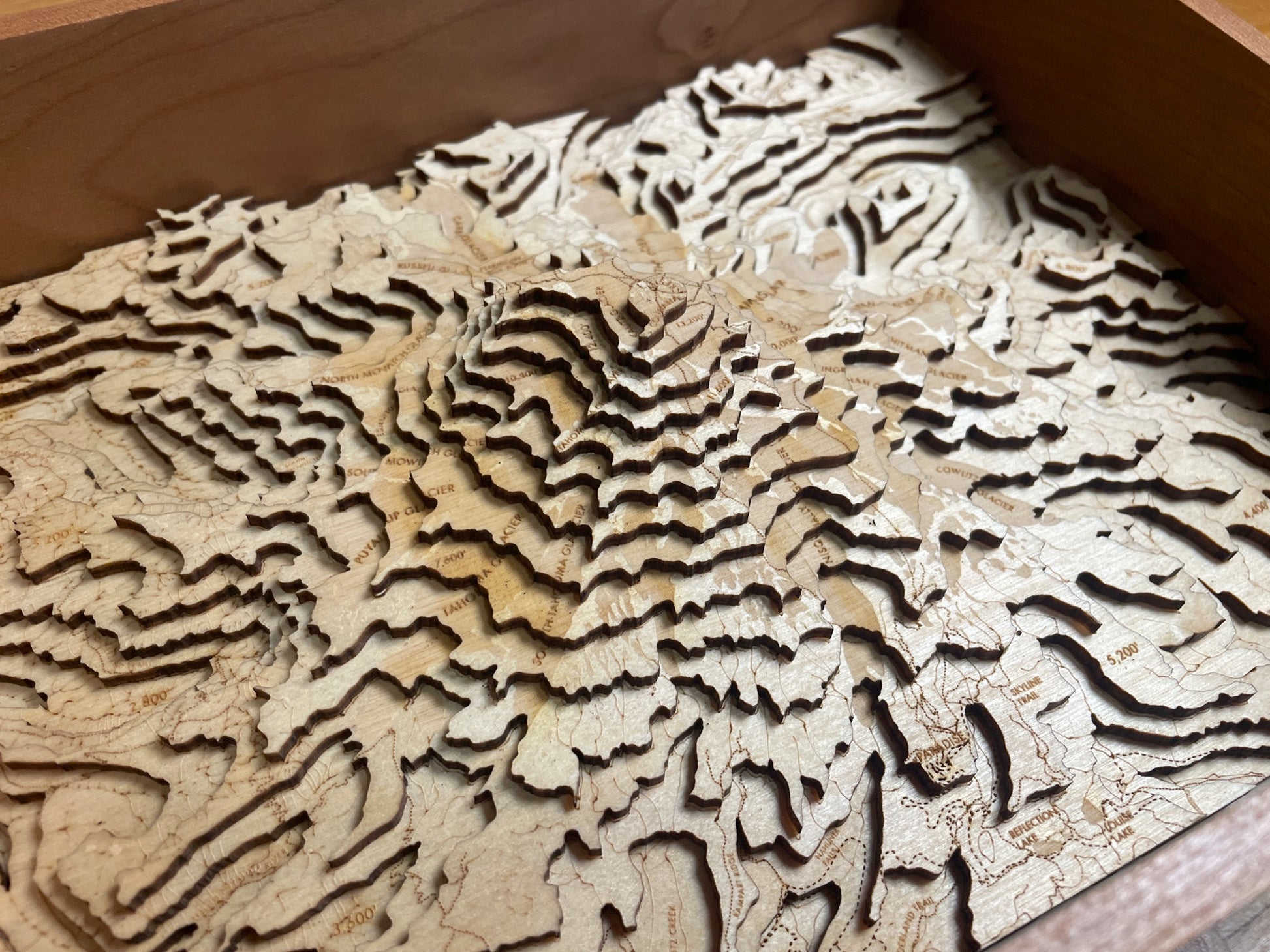
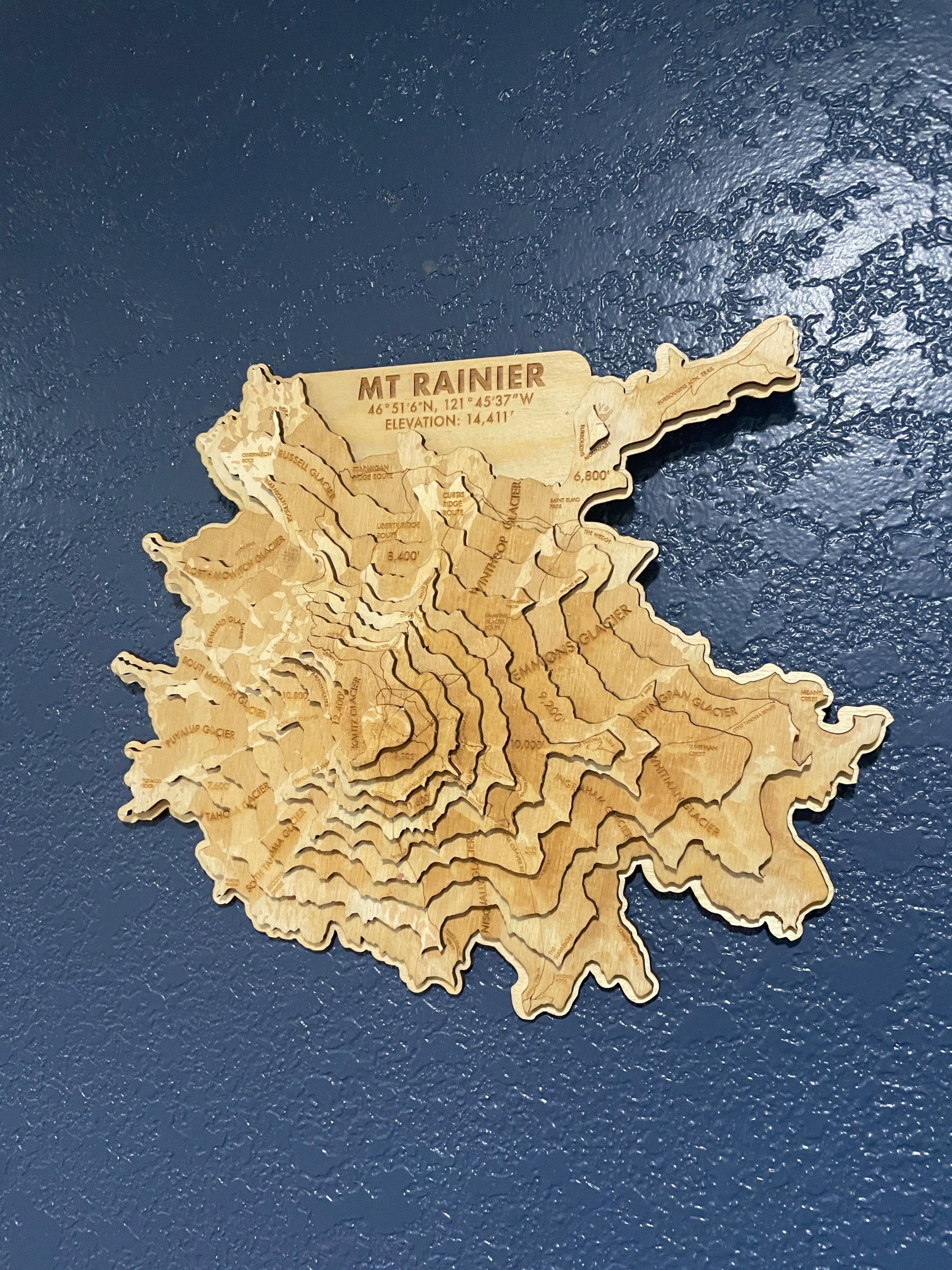
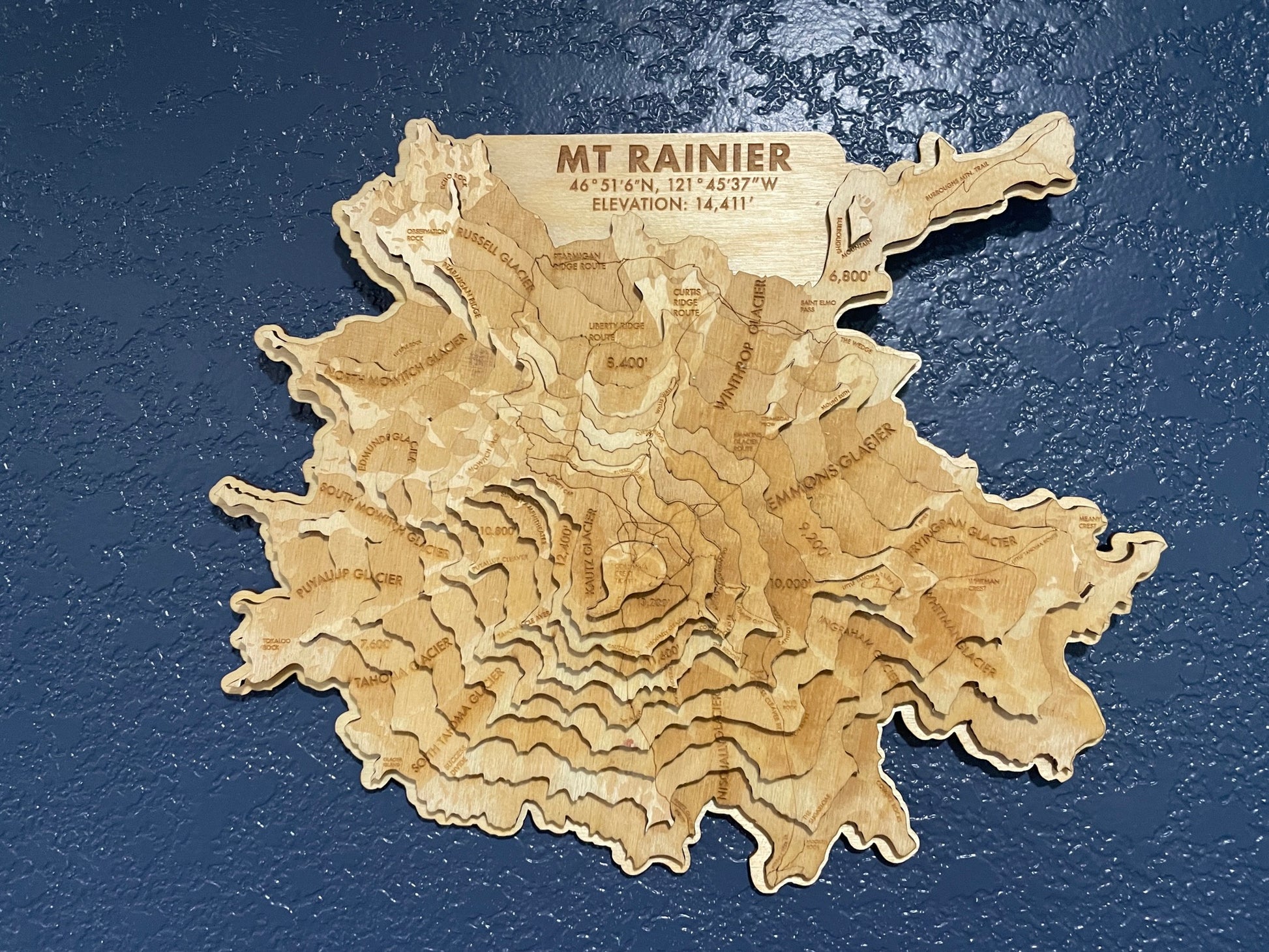
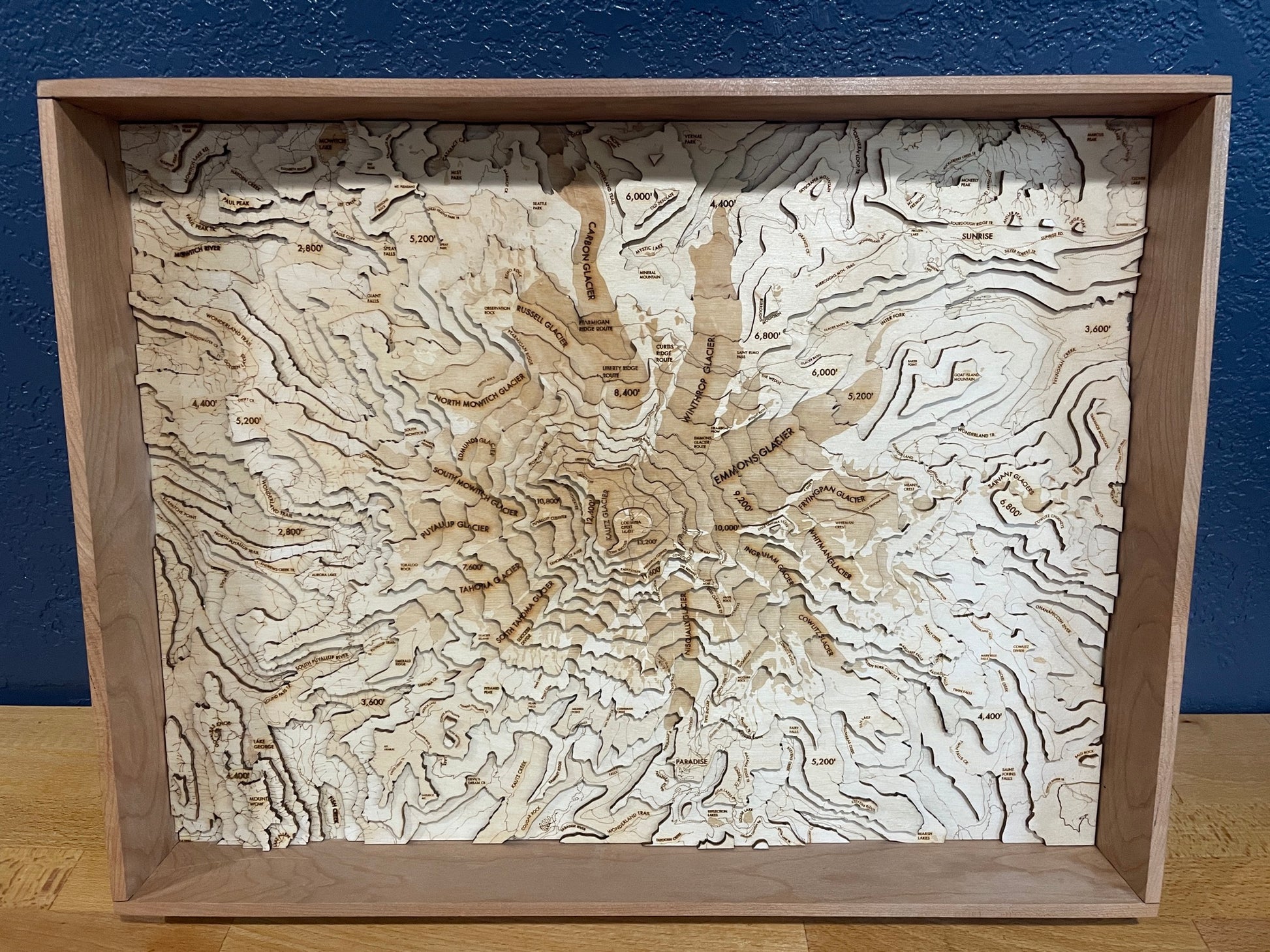
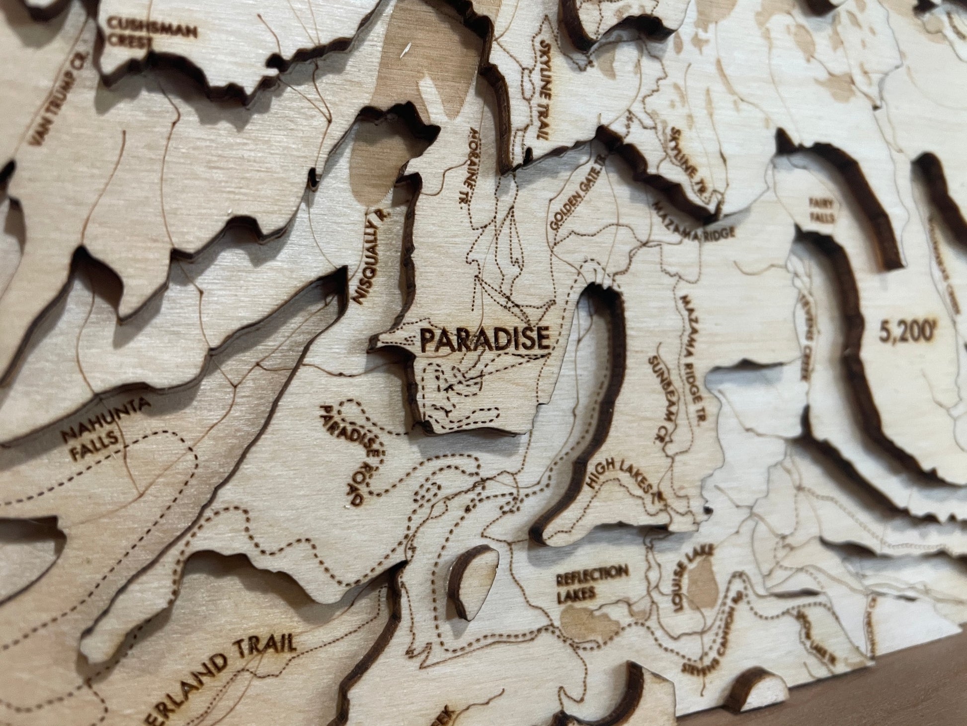
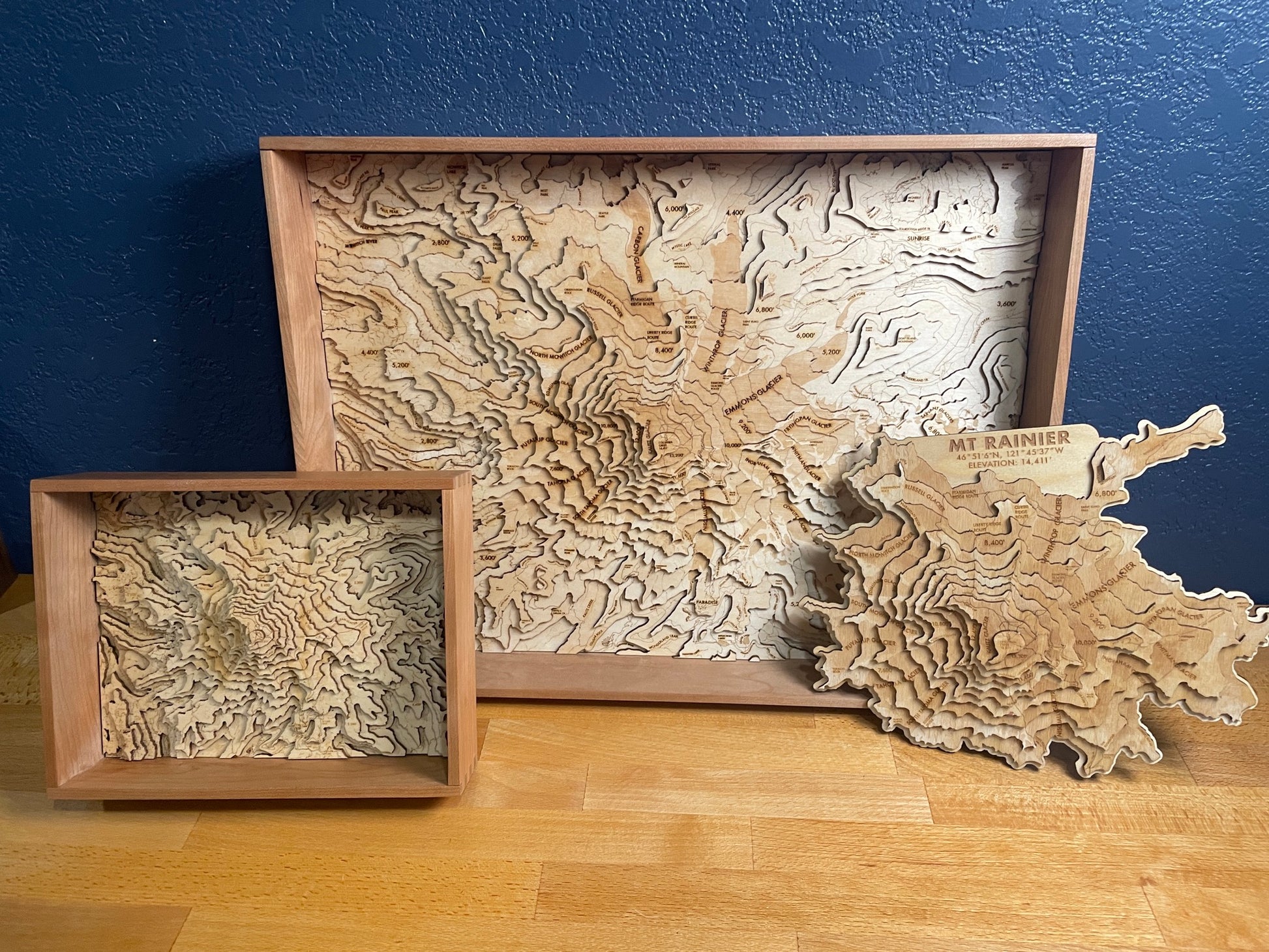
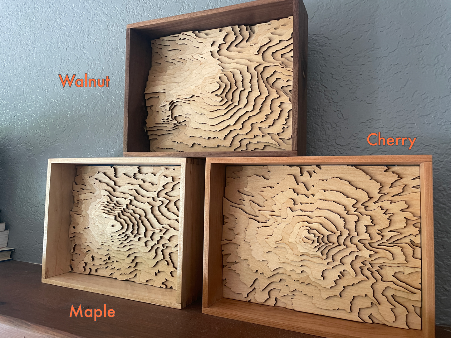
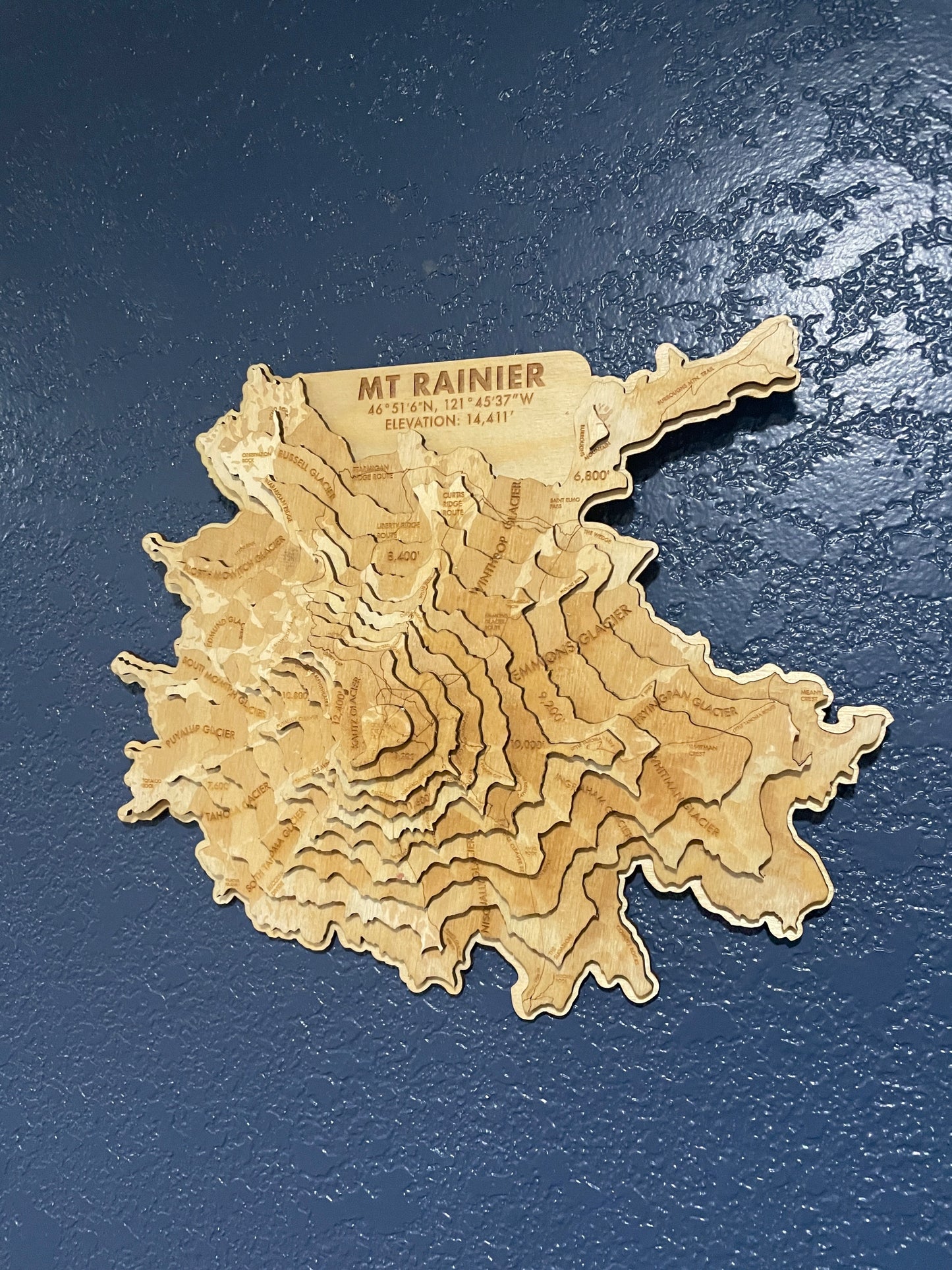
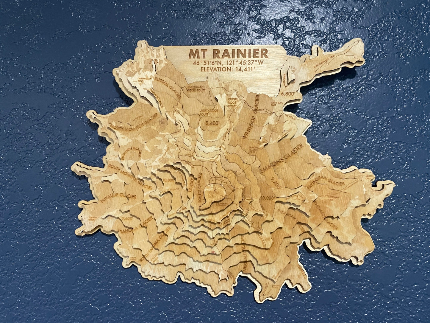
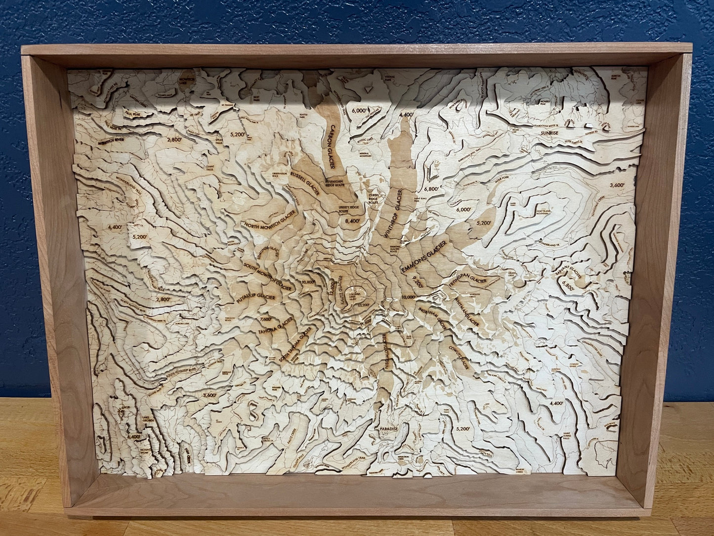
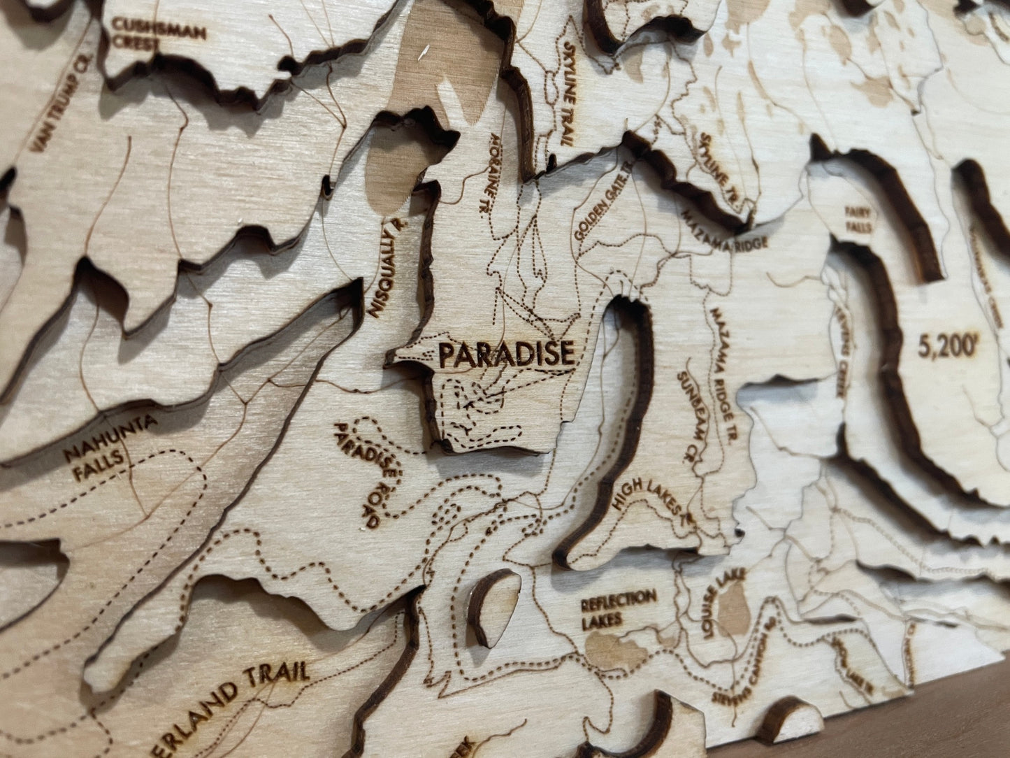
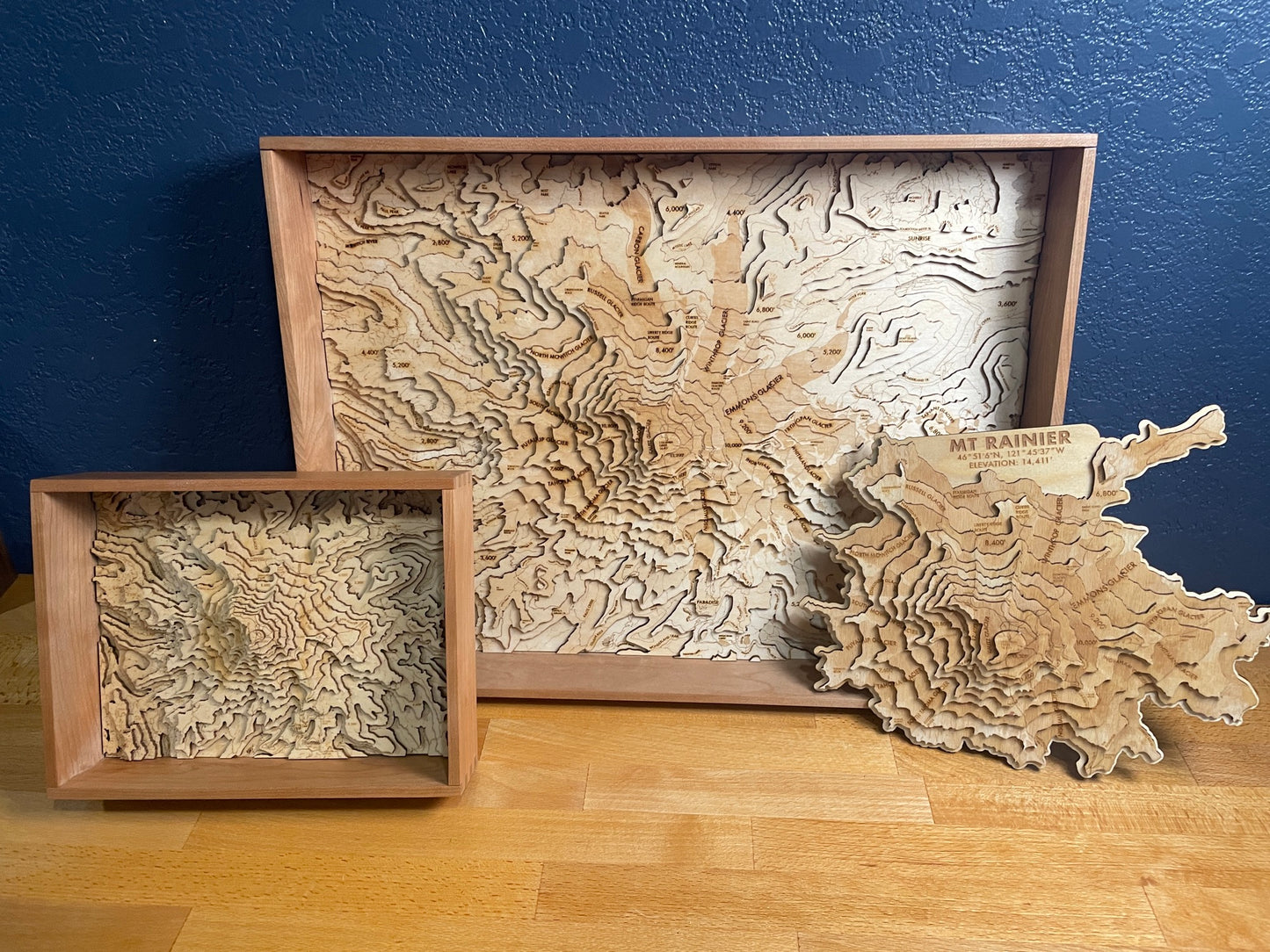
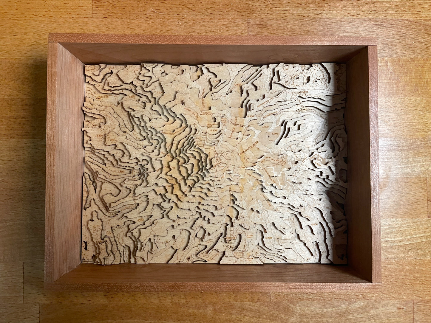
Mt. Rainier is the peak that can be seen photobombing nearly every outdoor photo taken in Western Washington. It's hard to miss, and hard to not be wowed every time you see it. This model has a ton of detail, with engraved glaciers and lakes for a subtle color contrast, markings for most creeks and streams and major geological features too. The extensive trail network surrounding Mt. Rainier, including the famous Wonderland Trail that encircles the mountain. Also featured are Paradise and Sunrise, and the major climbing routes up the peak.
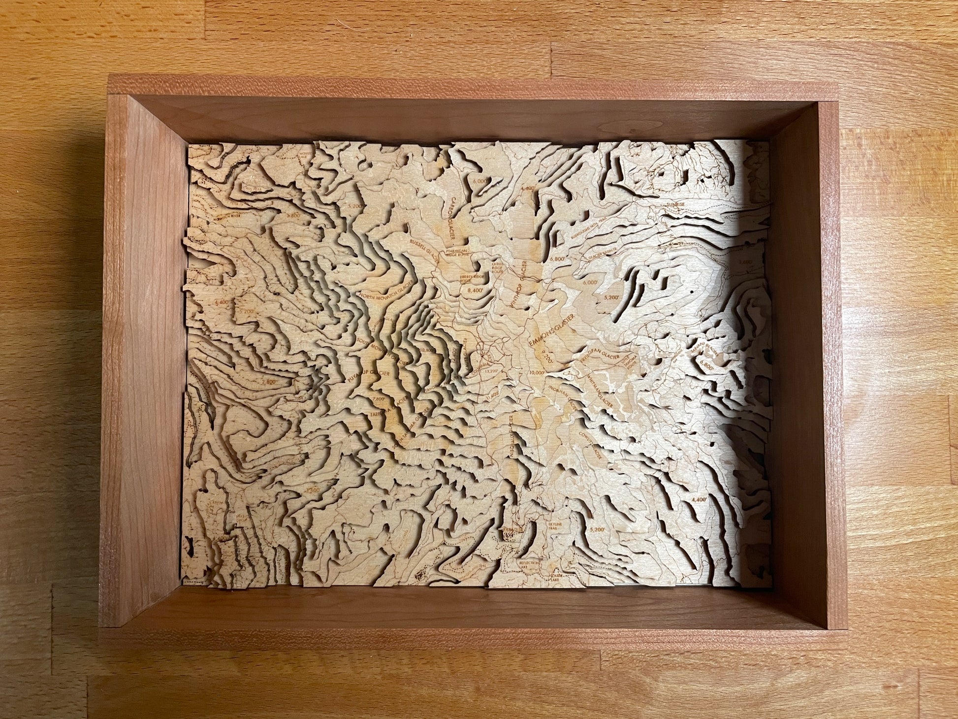
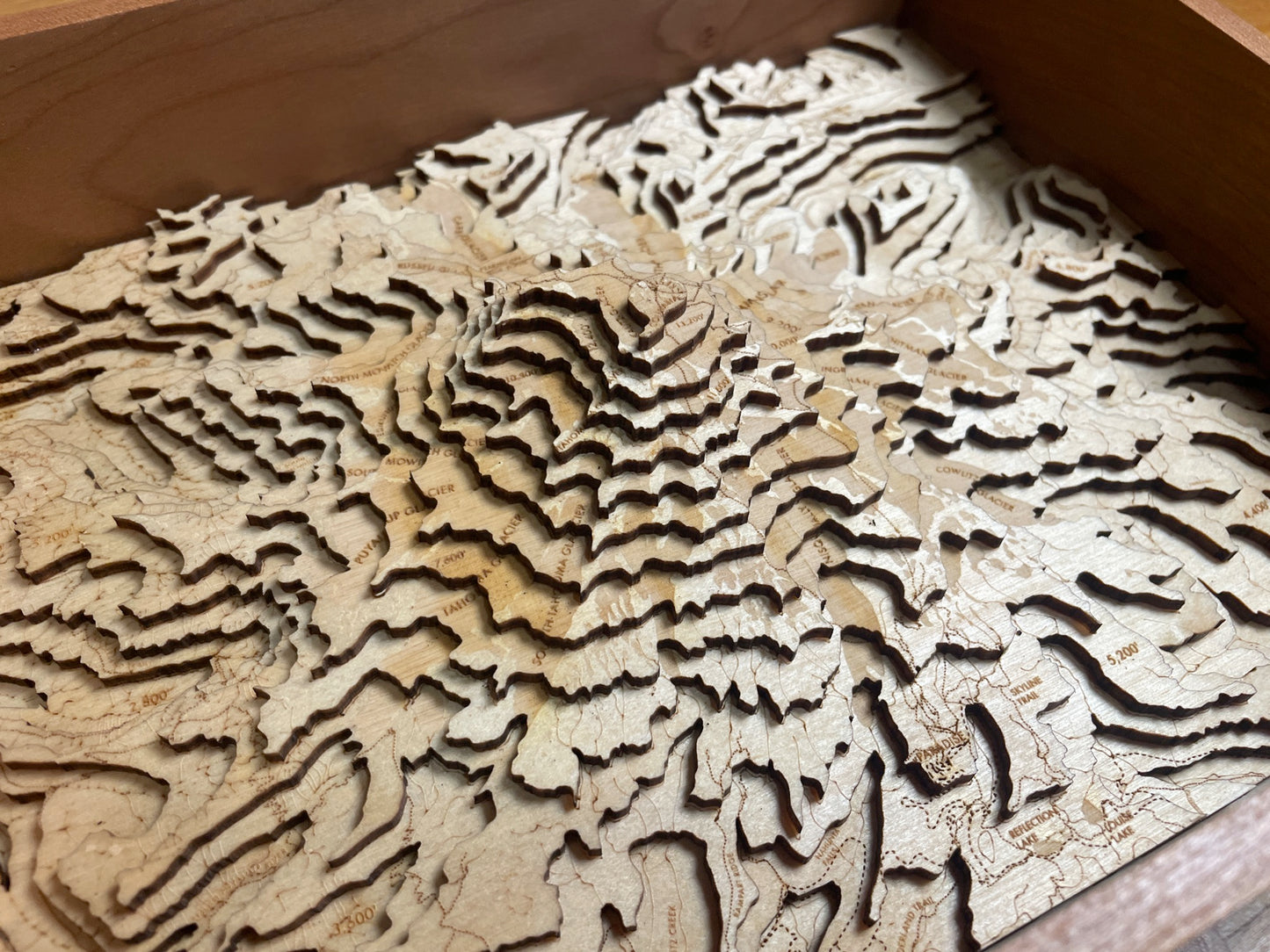
This map is rendered in 1:78,176 scale, with each layer representing 800 feet of elevation, 438 square miles and ~12,000 feet of elevation. The unframed 12x10" variant shows the top 7,600 feet of Rainier.
Share
Details
- Maps are laser cut from 1/8" (3MM) baltic birch plywood.
- Frames are handmade with solid hardwood, and include a clear acrylic cover.
- Everything is protected with a non-toxic & natural oil finish, and mounted with frame wire. All you need is a nail in the wall to hang them.
- Designed, built and shipped from my home workshop in Bellingham, WA
- Local pickup in Bellingham is available - Once your order is ready, we'll email you to coordinate a time and place to meet.
Note - this item is made to order, and typically ships within 5-7 days of order date.
