1
/
of
7
Mt. Hood Topographic Map
Mt. Hood Topographic Map
Regular price
$125.00 USD
Regular price
Sale price
$125.00 USD
Unit price
/
per
Couldn't load pickup availability
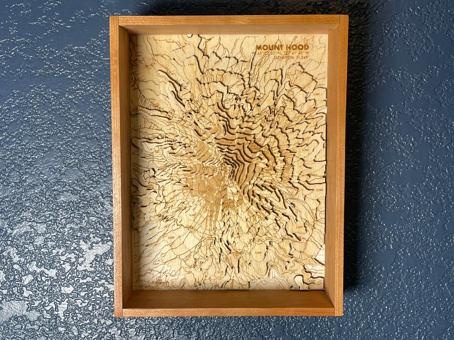
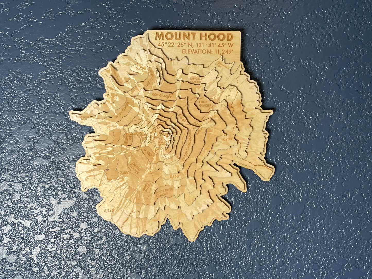
Mt. Hood is home to incredible hiking, climbing, and skiing, with the Timberline Lodge and Mt. Hood Meadows ski resorts located on the southern face of the peak. Mt. Hood is also one of the most visually recognizable peaks in the Cascades, and at 11,249', the tallest peak in Oregon State.
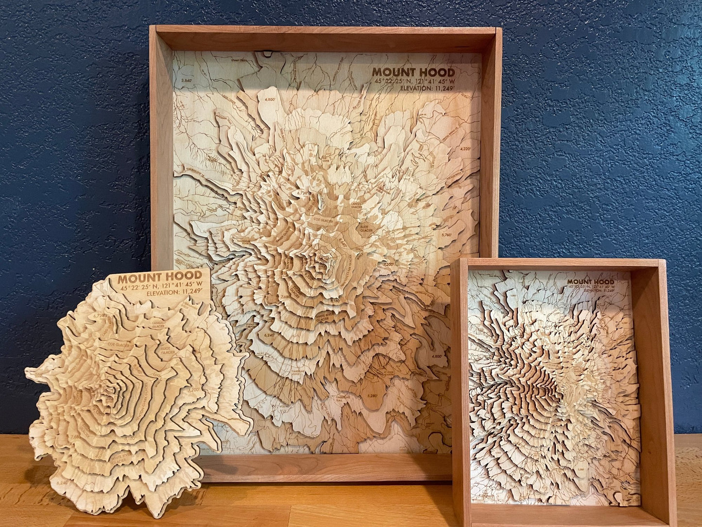
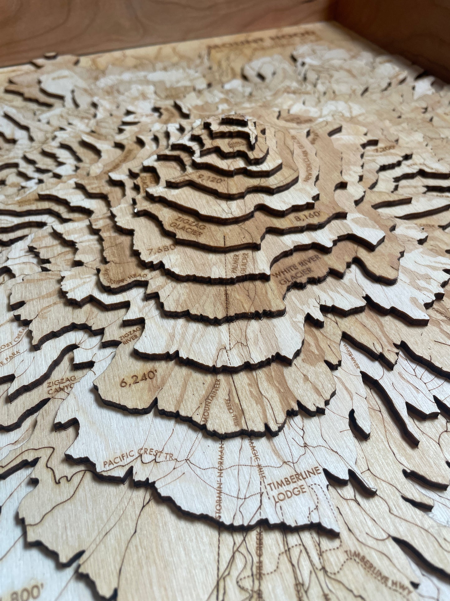
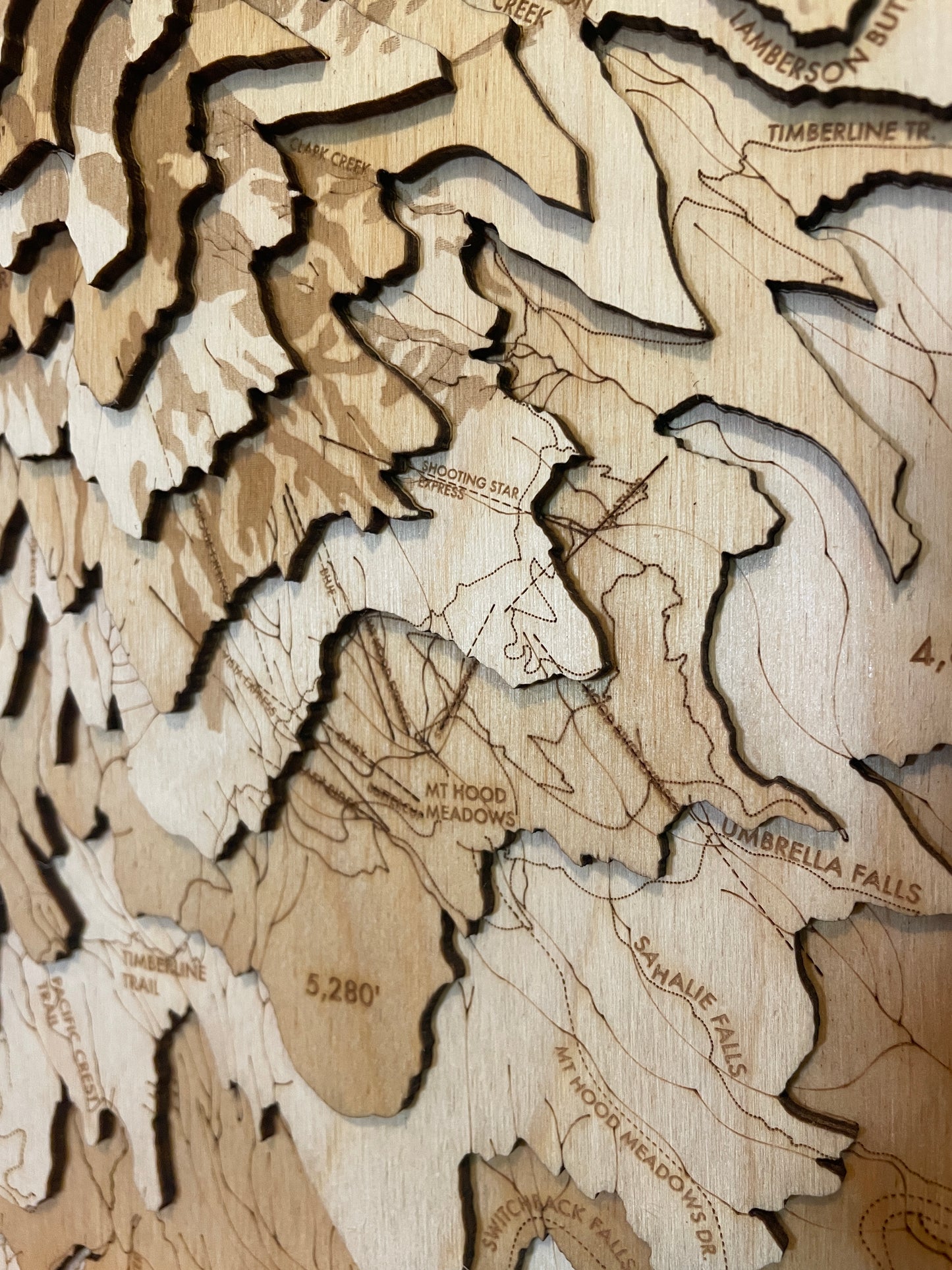
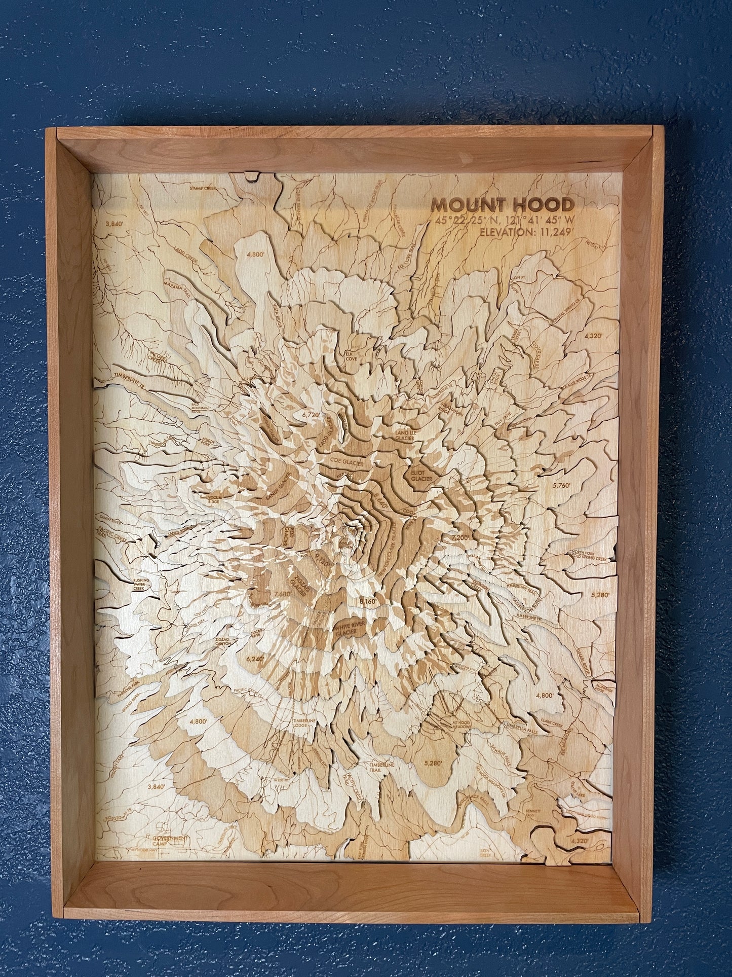
This map features labeling and details for all major glaciers, streams and creeks, hiking trails (including the Pacific Crest Trail & Timberline Trail), and most major summit routes. Ski lifts for both resorts are also marked.
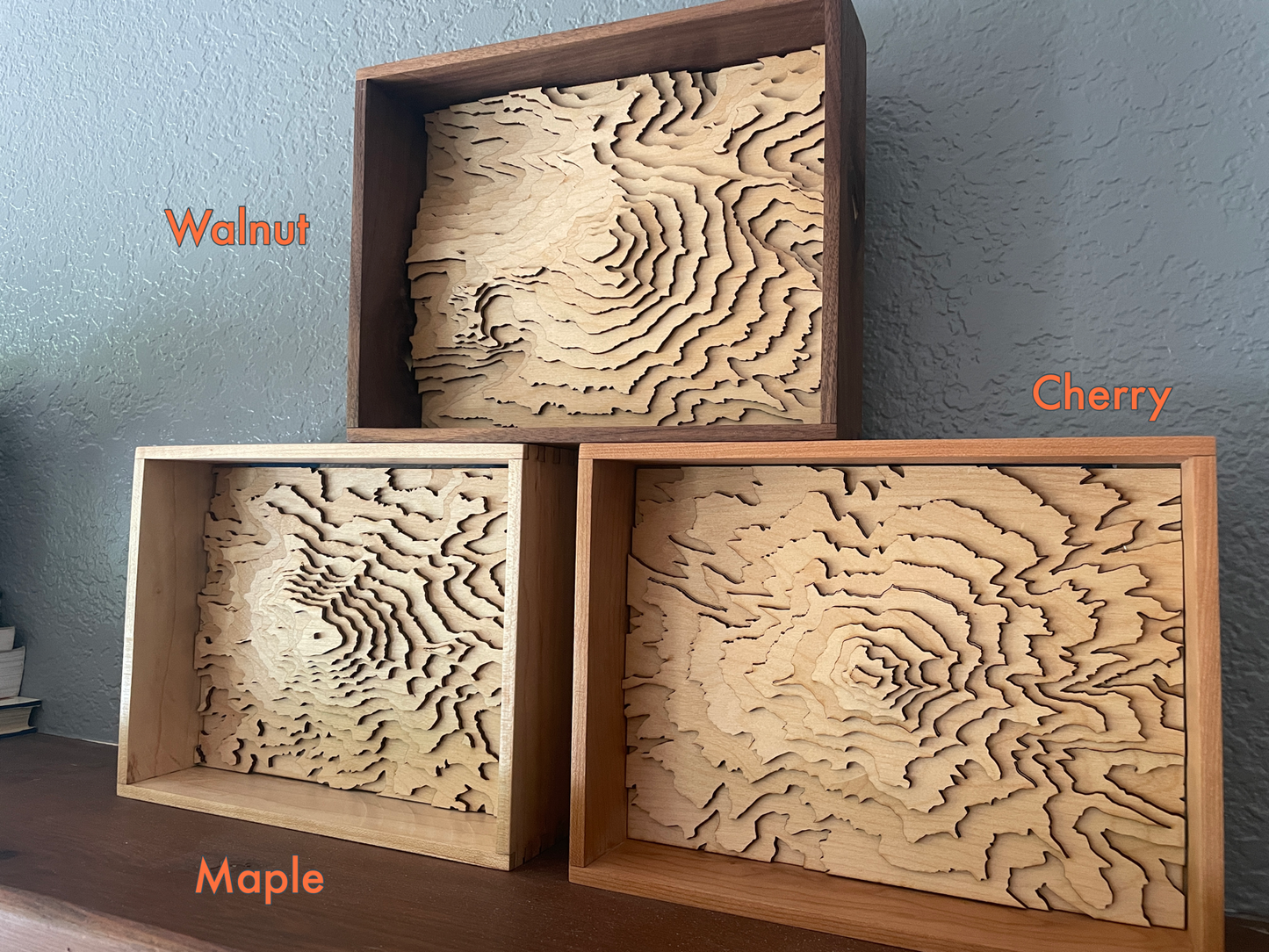
This model is 1:58,632 scale, with each layer representing 600 feet of elevation, and showing ~246 square miles and 8,400 of vertical elevation. The unframed 10x10 model represents the top 5,000 feet.
Share
Details
- Maps are laser cut from 1/8" (3MM) baltic birch plywood.
- Frames are handmade with solid hardwood, and include a clear acrylic cover.
- Everything is protected with a non-toxic & natural oil finish, and mounted with frame wire. All you need is a nail in the wall to hang them.
- Designed, built and shipped from my home workshop in Bellingham, WA
- Local pickup in Bellingham is available - Once your order is ready, we'll email you to coordinate a time and place to meet.
Note - this item is made to order, and typically ships within 5-7 days of order date.


